You are using an outdated browser. Please
upgrade your browser to improve your experience.
High Sierra Trail
High Sierra Trail
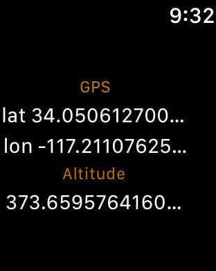
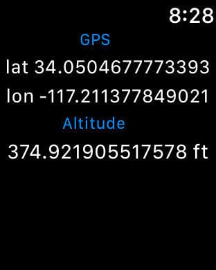
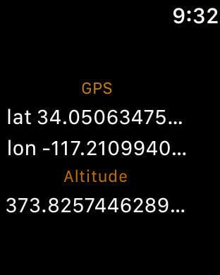
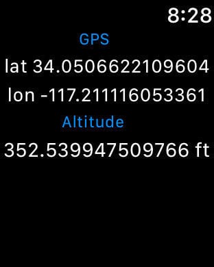
The app contains all mile markers and information for the High Sierra Trail. A must-have for hiking the HST in 2019 and data for 2019. The High Sierra Trail is a national trail from Sequoia National Park to Mount Whitney.Includes an Apple Watch app to provide the hiker with GPS and altitude information.Every single mile is available offline. The base map is only available online, yet the trail markers and the route is available offline.This app provides information to hikes that other hikes have reported, makers, water spots, shops, checkpoints, transportation, snow issues as well as trail magic caches. All this information is contributed by hikers with this app, so please, report all that information for other hikers behind you. All the reported information is a tag by location and time. The app works to use your location to enter the information. This application may continue to use GPS in the background, which can dramatically decrease battery life.
Features