You are using an outdated browser. Please
upgrade your browser to improve your experience.
A+ Sydney Journey Planner
by Routing4You
A+ Sydney Journey Planner
by Routing4You
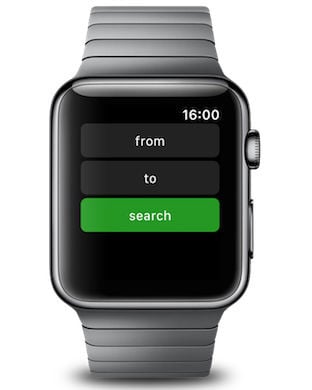
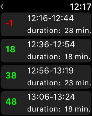
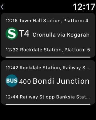
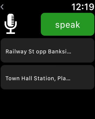
Dowmnload the A+ Sydney Premium app for up-to-date trip planning details and mapsfor using train, bus, STA and ferry services across greater metropolitan Sydney area (131500).Say you're standing somewhere in Sydney and want to know how to get Home: Our "Take me Home" button calculates your trip with just one click right back to your Home - from any location in and around SyndeyYou want to go to another destination? Just use our auto complete function for stations and street names including post code and street name search. All it takes is few taps to find your journey out. Your last destinations are automatically stored as favourites. Next time you will need just one click to plan your trip.Our map view displays the complete Sydney public transport network onyour iPhone / iPad, you can zoom, scroll and select your next departure or see your walking directions to the next Station.With this app you can do:* Coprehensive trip calculation with just one click right back to your Home (using GPS capabilities)* Coprehensive trip calculation to any Location in and around Sydney* See all services departing next from any location* Search for any destination (Station or Street)* Tailor trip plans to use a certain transport mode or plan wheelchair accessible trips* Save your favorite locationsTry out Pocket-Nanny (http://pocket-nanny.com). Pocket Nanny is a GPS-tracker that lets you locate your children in real-time.DISCLAIMER"You need internet connection to use this service. Continued use of GPS running in the background can dramatically decrease battery life. No guarantee for displayed routing information"
Features


